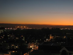
Back in the Hotel room where we started from in the morning. Looking back toward the mountains. Here is the hotel on maps.google.com.
Saturday, October 14, 2006
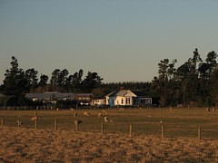
Sheep
A collection of New Zealand travel photos wouldn't be complete without some sheep - here's the best I could do.
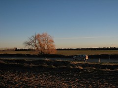
Revisiting the Canterbury Plains
The evening sun created some nice lighting effects. The evening contrast between the fields, tussock and the mountains was nicely caught by my partner (using a Canon A80).
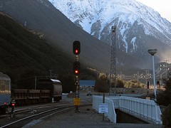
The train was now moving a full speed across the plain - the combination of low light and rapidly changing views made photography a bit difficult.
The train was now moving a full speed across the plain - the combination of low light and rapidly changing views made photography a bit difficult.
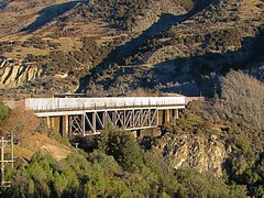
Viaduct (Broken River area?)
Evening sun on tussock
My partner took this image with a Canon A80. The image was taken at around 16:30 in the afternoon. The sun angle at this time of day is quite low - winter is only just leaving us and we are also quite far south.
Sunday, October 08, 2006
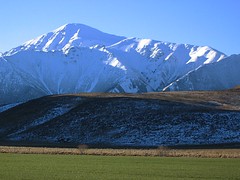
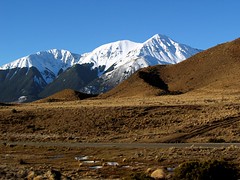
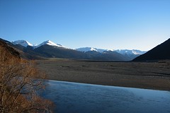
Bridge on Riversdale Road?
Matching the view, terrain, bridge and road to yahoo maps and other maps of the region makes me suspect this is the bridge on Riversdale road at this point on the map. The snow covered mountains are a zoomed out view of the ones in the previous image.
Distant clouds
As with the next image, I think this image was taken where the road and rail come back together at this point on the Waimakariri. The sun is starting to get quite low in the west.
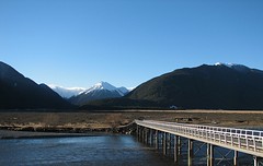
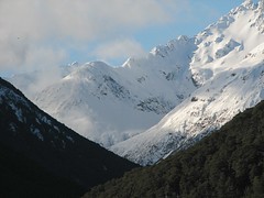
Highway 73
This image was taken in the wide valley the contains the shingle beds of Waimakariri River in the Bealey Spur area. The road (just visible) runs on one side of the valley and the railway on the other. I think this may be a different angle and zoom onto the left of the area covered by the "Layer Cake" image posted previously.
The lower part of the image has been tweaked to bring out the colours in the scrubby lower slopes (I lowered the overall brightness and contrast in this area only).
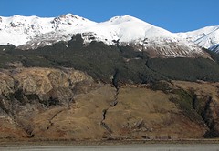
The lower part of the image has been tweaked to bring out the colours in the scrubby lower slopes (I lowered the overall brightness and contrast in this area only).
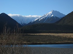
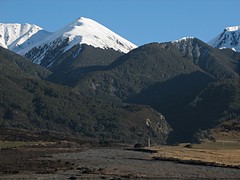
Bridge
I think the tiny bridge visible in the bottom of the picture is one of the bridges on State Highway 73 near Bealey Spur. This image was probably taken close to the location of the previous one.
Thursday, October 05, 2006
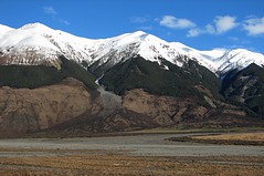
Layer Cake
Somewhere between Arthurs Pass and Bealey Spur. Possibly at the location indicated on the yahoo map link. I placed the map link approximately on the rail line - you can see features that might match if you south of the marked position.
GAS MASK AND MONITOR MUST BE CARRIED
The Otira Tunnel is not a place to linger without a supply of good air. I wrote more about the tunnel here.
Subscribe to:
Comments (Atom)